Maps, GIS and Open Data
Image

Navigate Newmarket Online Hub
A new and improved online hub that provides access to a online map viewer and an integrated open data webpage.
For best performance, please use the latest version of Edge, Chrome, or Firefox web browsers.
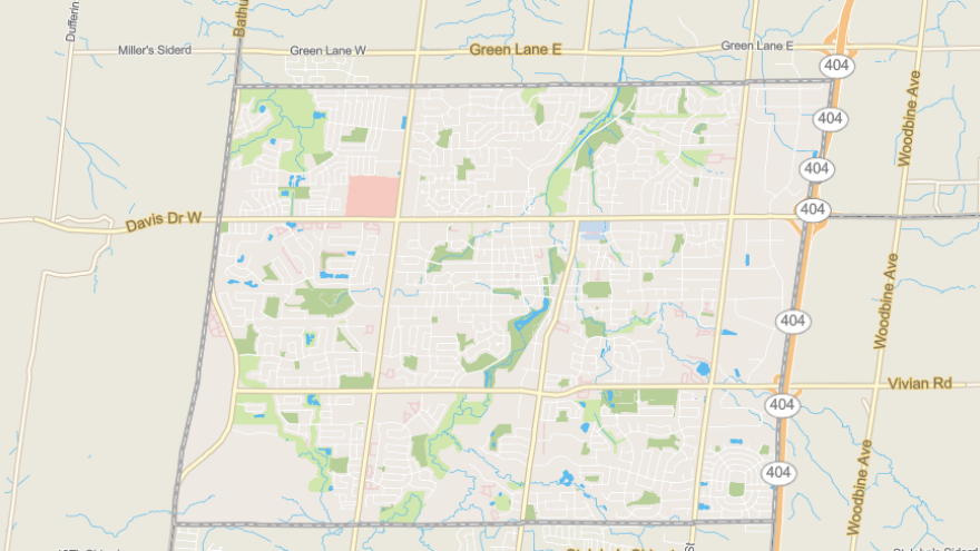
What is GIS?
A geographic information system (GIS) is a system that creates, manages, analyzes and maps all types of data. The Town has been using GIS technology for 20 years and with interactive mapping, users can find addresses, Town facilities, determine wards and waste collection days, measure the length of a trail, or view development information such as zoning or active developments.
Open Data
Image

In keeping with our commitment in making Newmarket even better, the Town is embracing the Open Data information movement and releasing data for free to the public.